

Rivenzi, a Twitch streamer, known for his passion for sports, history, and video games, transitioned from live analysis to producing his own documentaries. His latest projects delve into the SS Dirlewanger Brigade and the soldiers of Napoleon's era.
The Request
Rivenzi approached me following my work on Simon Puech's maps (referenced here). He tasked me with illustrating the territorial conquests of Nazi Germany towards Eastern Europe, Napoleon's domains, and the Battle of Wagram.
Inspiration
During our brainstorming sessions, we considered various approaches. Initially, we contemplated detailed maps with an aged paper effect.
However, given the fast-paced nature of YouTube videos where illustrations change rapidly, we opted for minimalistic maps with concise text to ensure viewer engagement.
However, given the fast-paced nature of YouTube videos where illustrations change rapidly, we opted for minimalistic maps with concise text to ensure viewer engagement.

Workflow
After several tests, I developed a workflow to create precise maps.
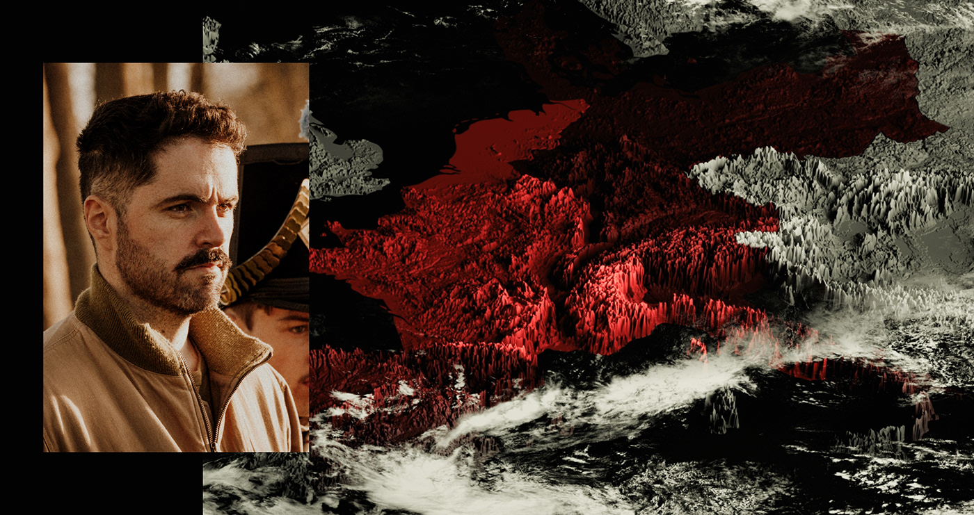
Topographical information was sourced from the heightmapper of the Tangram project by Mapzen, an open-source initiative under the Linux Foundation.
Elevations were represented subtly, with lighter shades denoting higher altitudes. Borders were defined using satellite images, Google Maps, books, and online sources.


I. The SS Dirlewanger Brigade

.001 Historical References
This segment focuses on German advancements eastward and the resistance encountered. Syncing pocket appearances and closures with the German advance required cross-referencing multiple sources.

.002 Reconstruction
Days were spent reconstructing period borders, adjusting relief heights for clarity.


.003 Motion
Smooth camera movements accompany German progressions, ensuring fluid pacing with the video.
Ii. Napoleon's Soldiers

.001 Historical References
This documentary follows Napoleon's soldiers during the Austrian Empire conquest and describes the Battle of Wagram.
Borders were referenced from "Atlas de l'histoire de France" by Belin, while multiple sources informed the Battle of Wagram development.

.002 reconstitution
Photoshop was utilized to remove human terraforming and buildings for Wagram, redrawing the Danube's original shape by hand.


.003 Motion & reconstitution
Camera movements and motion design adapt to the voiceover descriptions, enhancing narrative cohesion.
Conclusion
These projects represent a fusion of historical research and creative design. By meticulously reconstructing historical landscapes and battles, we aim to immerse viewers in the rich tapestry of Rivenzi's documentaries. Through effective collaboration and innovative techniques, we've brought historical events to life in a visually engaging and informative manner.
Credits
Art Direction, Photography, Editing, Cinematography : Alex (@StudioGachette) Arnaud
Photography, Cinematography : Mathieu Lacout
3D map : Quentin (Grou_Grou_) Jeanningros
3D map : Quentin (Grou_Grou_) Jeanningros
Historical Research, Sourcing : Thomas (BisousNounours) Quinquis


